
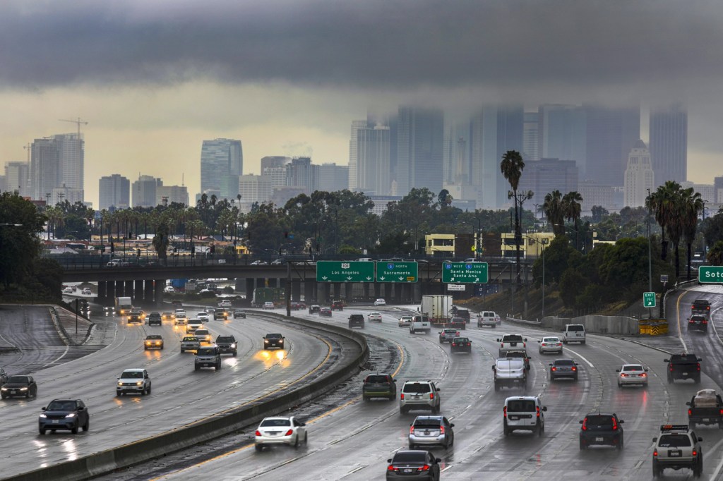
Today, Los Angeles got its first real rain this season. Mind you, it was the far southern edge of a more serious storm that hit Northern California; but still it was enough of a novelty to one who has not seen any real rain for the better part of a year.
If you are not familiar with California, the south is the part that doesn’t get much precipitation. The boundary seems to be at Point Conception in Santa Barbara County. Weather forecasts usually read “from Point Conception to the Mexican Border.”

You will notice that the shore of California north of Point Conception is considerably to the west of the south shore. To go from Los Angeles to Santa Barbara, one travels as much to the west as to the north.
When I first moved to Los Angeles, we had more rainy summers, especially around the early 1980s, when one storm carried away part of the Santa Monica Pier. There would be whole days of heavy rain, one following on the heels of the other. Now it seems to have a few widely spaced rains, usually dumping just a fraction of an inch. If this trend continues, the water shortage will get serious. There is not enough of a snowpack in the Sierras any more, and the Colorado River is drying up. And these are our two main sources of water.
The L.A. Department of Water and Power is planning on re-processing sewage to return to our faucets. The unfortunate moniker for this procedure if “toilet to tap.” It doesn’t sound very appetizing, and I foresee a lot of problems in its implementation.


You must be logged in to post a comment.