The Road from Cajamarca to Chachapoyas
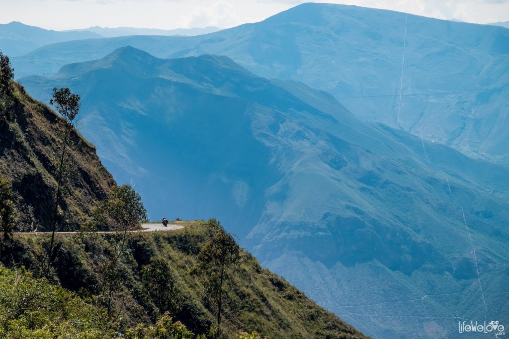
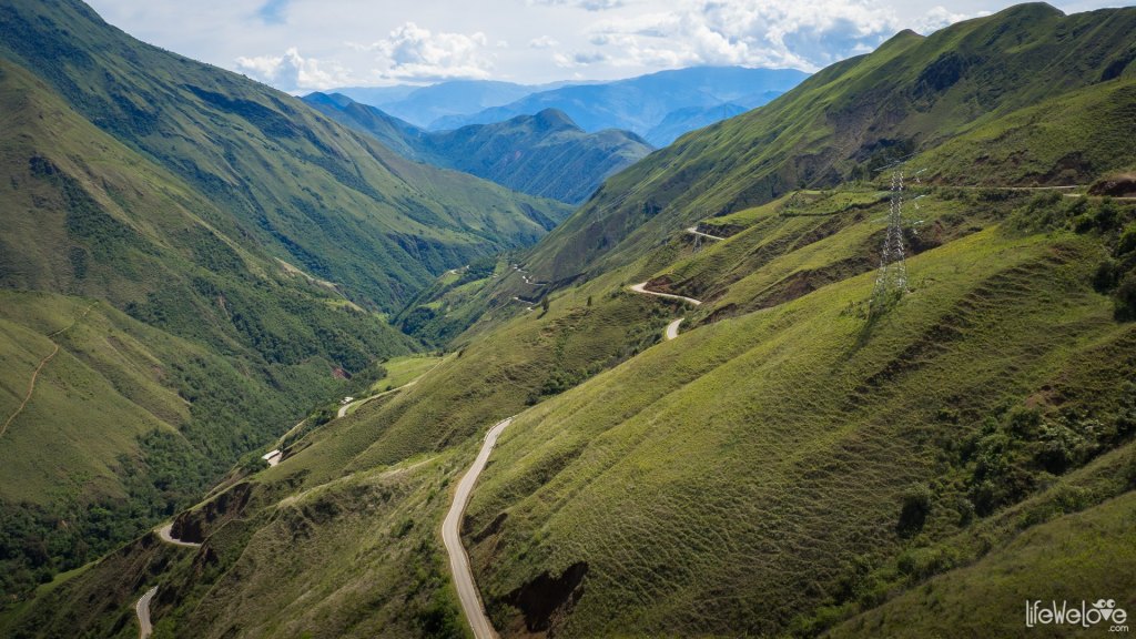
In my perhaps pipe dream (perhaps actual) plans to visit the pre-Columbian ruins of Northern Peru, the one big question is the side trip to Chachapoyas. The Andes at that point consist of a number of parallel mountain ranges. From Cajamarca (at 2,750 meters or 9,022 feet), one goes over a mountain pass of 3,085 meters (or 10,121 feet) to Balsas before tackling Abra de Barro Negro (“Black Mud Pass”) at 3,678 meters or 12,067 feet. From there, one can see the Rio Marañon, which is a tributary of the Amazon. A quick look at the map for this part of the trip will give you a general idea:

The Wiggly Line of Route 88
An even more specific look at the route:
Yup, It’s the Same Road
From what I understand, Route 88 is paved all or most of the way, but there are frequent floods and landslides during the rainy season, which runs from November to April. There is, I believe, one bus per day along this route from Cajamarca to Chachapoyas at 4 :00 AM using the Virgen del Carmen bus line.
This road is by no means the end of my troubles, as you shall see when the discuss the ruins of Kuelap. In fact, I will probably overnight at Leimebamba on the way, visiting their famous museum. My nerves will be plenty jangled by then, especially if I sit on the left hand side of the bus.

You must be logged in to post a comment.