Hiking to Inspiration Point

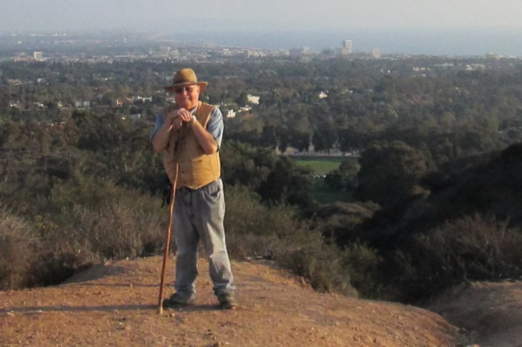
Atop Inspiration Point Ten Years Ago

Today I took a hike … sort of. Now that we are not being flooded out very week, I needed some exercise—only to find that I was way out of shape. I drove to the Will Rogers State Historical Park in Pacific Palisades. Now this is a trail I had hiked many times before, but today I couldn’t quite make it to the top. And that despite the fact that the trip there and back was only 9/10 of a mile (1.5 km) with a total gain of 119 feet (36 meters)!

I am resolved to try again soon. It is amazing how a long spell of bad weather can expose how out of shape one is.

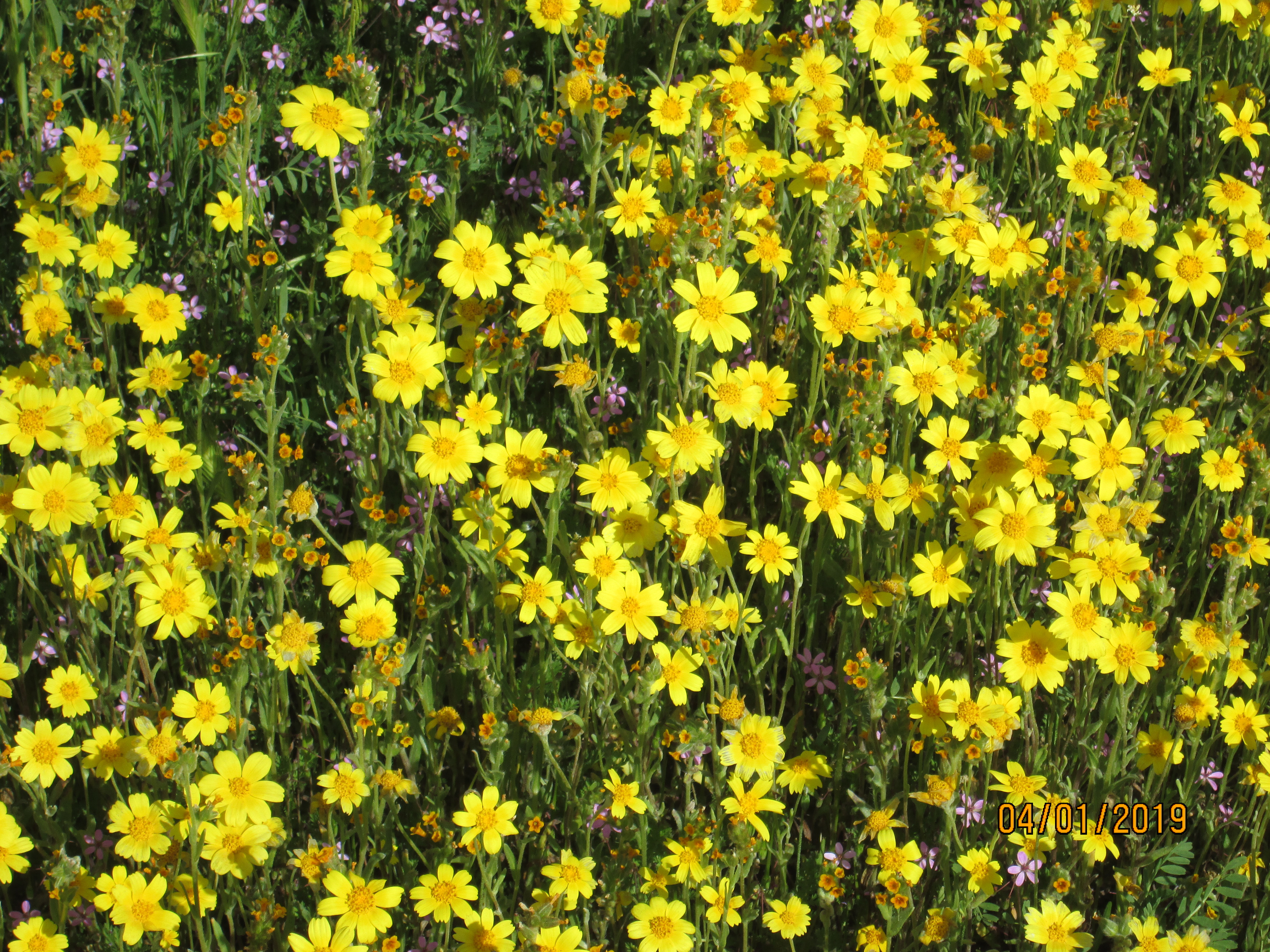
No matter. I still enjoyed the experience. The hills were covered with purple and gold wildflowers, and at several points there were still rivulets seeping from the hills right through the center of the trail. At three points along the trail, there are benches . I took advantage of them once on the way up and once on the way down. It was a lovely day, with coastal fog starting to come in at the lower elevations.

In another ten or twelve weeks, it’ll be too hot to hike this trail, so I had better do it again soon perhaps two or three times. When it gets really hot in L.A., it’s better to stick to level ground—and that early in the morning. Once 11 am rolls along, it becomes a sweaty ordeal.

When I finished the walk, I sat down on one of the three rocking chairs on the porch of Will Rogers’s old house and watched parents play with their children on the wide lawn in front.

The Carrizo Plain

Welcome Sign at the South Entrance

My friend Bill Korn and I have been talking about seeing the wildflower blooms at the Carrizo Plain for several years now. As long as I worked doing taxes, however, I was never able to go before April 15; and by that time, the show was all over. Now, being retired, I jumped at the chance. Bill and I met at a Western Bagel in Valencia—he started his trip in far-off Altadena—and we set out in his Prius.

On the way, we passed through Frazier Park and the high country around Mount Pinos before descending some four thousand feet to the level of the Carrizo Plain.

The AT&T Cable Runs Through the Park

The Carrizo Plain National Monument is different from most national parks I have visited. There is no one to collect admission fees at the entrances, and no park rangers were in evidence (though I suspect they exist). Though it was a Monday, there were a lot of cars, particular in the northern part of the park. Most of the action is along the main route called Soda Lake Road that runs the length of the park, paved for approximately half its length, and oiled dirt and gravel for the other half. There were numerous dirt roads that led to subsistence ranches and places that were inaccessible because of deep mud lingering from the heavy rains earlier in the year.

One interesting feature of the park is that Soda Lake Road runs side by side with the San Andreas Fault. I plan to write about this tomorrow if I have the time.

Wildflowers in Great Abundance

This park is probably the largest single section of California grassland that is more or less intact. I didn’t get the feeling that the few ranches we passed made much of a negative impact on the wildness of the place.

Wildflowers Close Up

I will not soon forget the beauty of the Carrizo Plain. I hope I can return some day after another spectacular peak wildflower bloom.


The Deserts of This Earth

Hillside with Cholla Cactus in the Anza-Borrego Desert

California has a number of distinct desert zones, ranging from Death Valley in Inyo County to the Mohave Desert around I-15 and I-40 along the route to Las Vegas and Northern Arizona to the Anza-Borrego Desert east of San Diego. My friend Bill also tells me about the Carrizo Plain National Monument, which also seems to be a desert, one which I have not yet visited. And undoubtedly there are several I am not taking into account.

One thing they all have in common: Don’t go there in the summer if you don’t want to die of discomfort and have your car stranded on some obscure untraveled highway. In the winter, on the other hand, the desert is lovely and beguiling. Do you see those cholla cactuses in the center of the above photo? When the sun shines through their barbed needles, they look positively huggable. But don’t even try! If you brush against cholla spines, they will stick to your skin and your clothing, and you will have the devil’s own time disposing of them.

During the spring, you are likely to see that every inch of the rough desert surface seems to be covered with tiny wildflowers. The efflorescence lasts only a few weeks, and you have to time your visit carefully and call locals to see if it’s happened yet. And it generally happens only after a wet rainy season. We haven’t had many of those lately.

Because California is on the ring of fire, you can occasionally find natural hot springs in which you can bathe. There is one such in Anza-Borrego on County Road S-2 south of Scissors Crossing. To get there, one passes by the old Butterfield Stage Route; and you can even stop at one of the Butterfield Stage stations which has been restored to its 19th century glory.

When it’s too cold to go the beach, consider the desert.