
“What matters most is how well you walk through the fire.” — Charles Bukowski
Home » southern california (Page 13)
“What matters most is how well you walk through the fire.” — Charles Bukowski
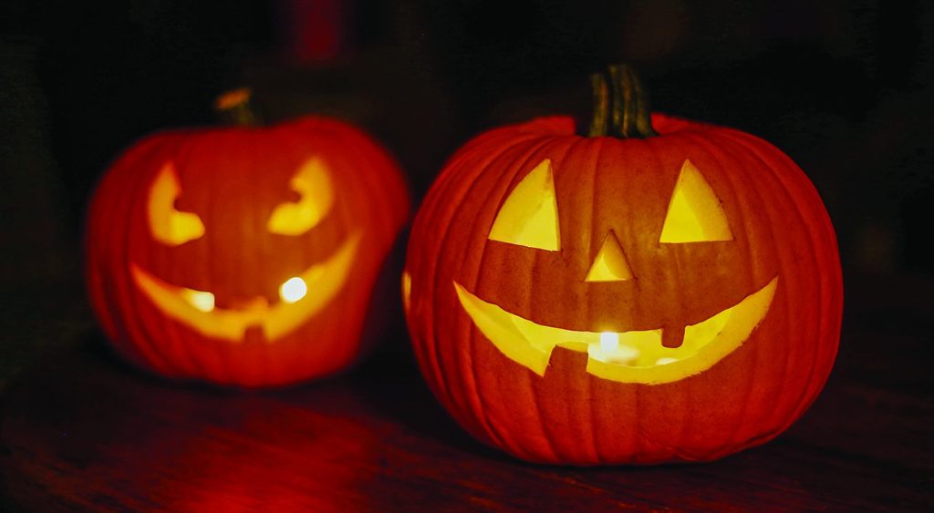
Jack-O-Lanterns
I would have to say Halloween. You don’t have to eat turkey, which I hate. There is an endless supply of good books and movies with a horror theme—few of which are as sappy as Xmas films. And there’s all that candy. Moreover, sometimes I think that Christmas exists to make you feel guilty for not being 100% perfect.

Tatsuya Nakadai in Masaki Kobayashi’s Harakiri (1962)
OK, obscure enough for you? I admire the character of samurai ronin Tsugumo Hanshirō as played by Tatsuya Nakadai. The man was a force of nature.
I’m just not a pet person. I prefer human friendships and relationships to animals.
I would choose track and field, followed by [soccer] football.
Community is one of those words I distrust. It has been eroded by being too much in the mouths of politicians.
I have tended to avoid interacting with strangers.
I would much rather see something named after someone that matters or has mattered to me. Once I’m gone, I will be past caring for something named after me; but while I’m alive, it would warm my heart to commemorate my love for my mother, father, brother, or Martine.

The Canon PowerShot A1400
At high noon, as I was preparing to shoot more snapshots of the oasis at the Whitewater Preserve, I stubbed my toe on a rock and fell on my face. My skin bore a few scrapes, and it took my brother and a large bystander to stand me up on my feet; but the lens on my trusty A1400 rangefinder camera was shattered.
I was worried that I wouldn’t be able to retrieve the pictures I had shot that day, but fortunately I had nothing to worry about. Even with a broken lens, I was able to copy the pictures to my hard drive and edit them for possible use in this blog. The following two photos were from my old camera.
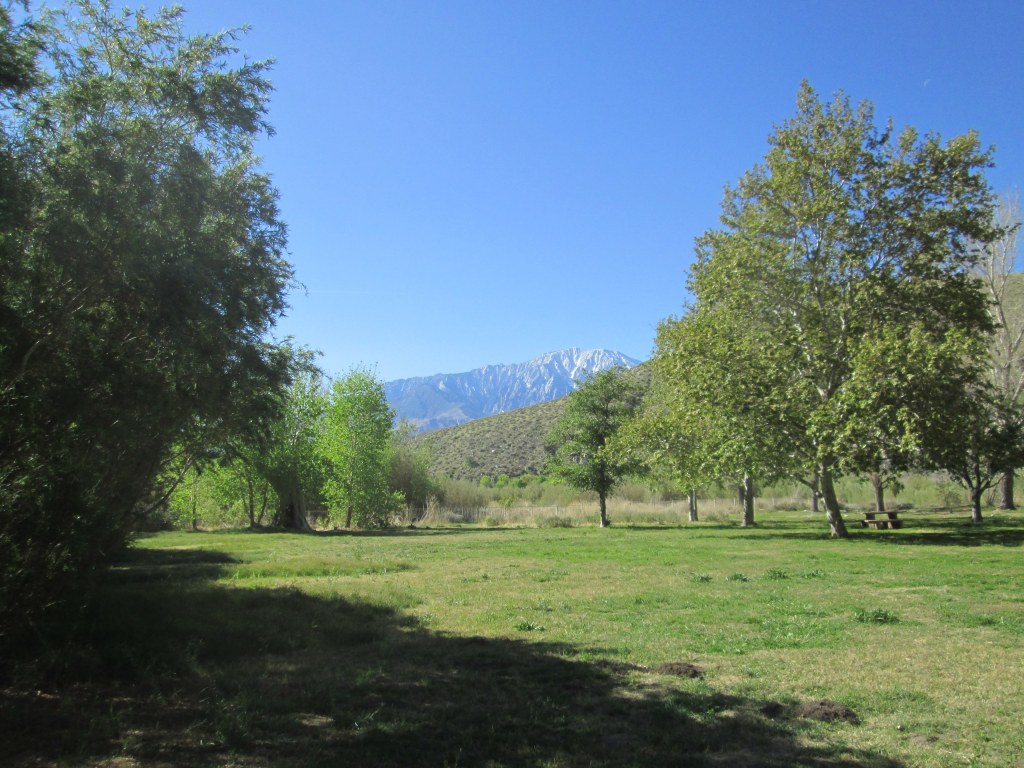
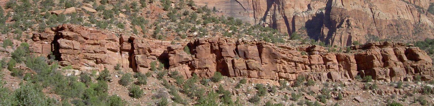
The Oasis at Whitewater Preserve
Since Martine and I are scheduled for a trip to Tucson, Arizona the week after next, I wanted to replace the camera quickly. Fortunately, a lightly used A1400 was on sale at Amazon Marketplace. I jumped on it and received it promptly. I would rather deal with old technology at this point than spend great gobs of cash for something that would take at least a month to research.

Me at Whitewater
This picture was shot by my brother using my camera. (You can see his water bottle on the fence to my right.)
Oh, that’s easy. I wanted to be a cowboy.


You must be logged in to post a comment.