The Last Time I Was in Argentina

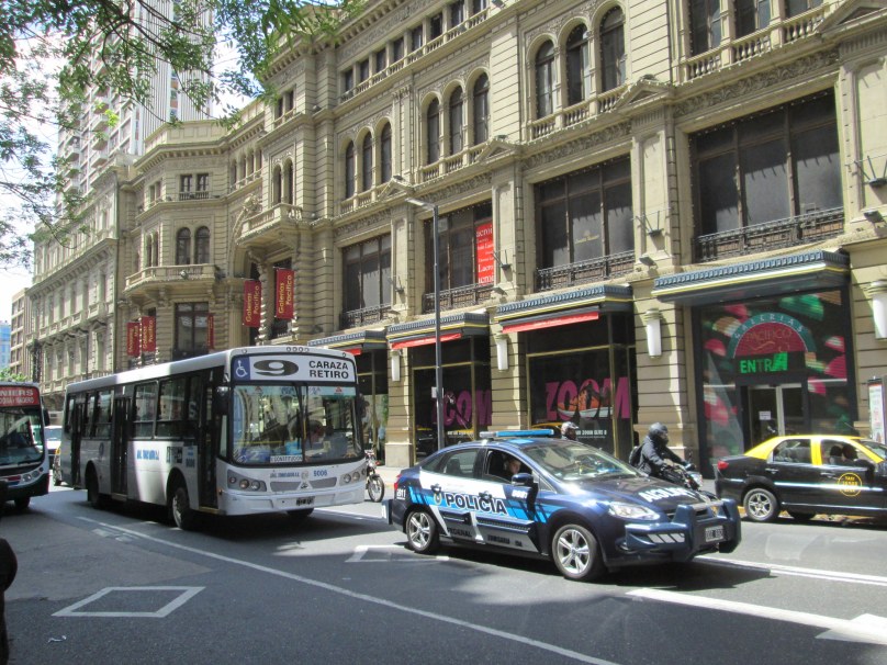
Buenos Aires: Traffic on Calle Florida

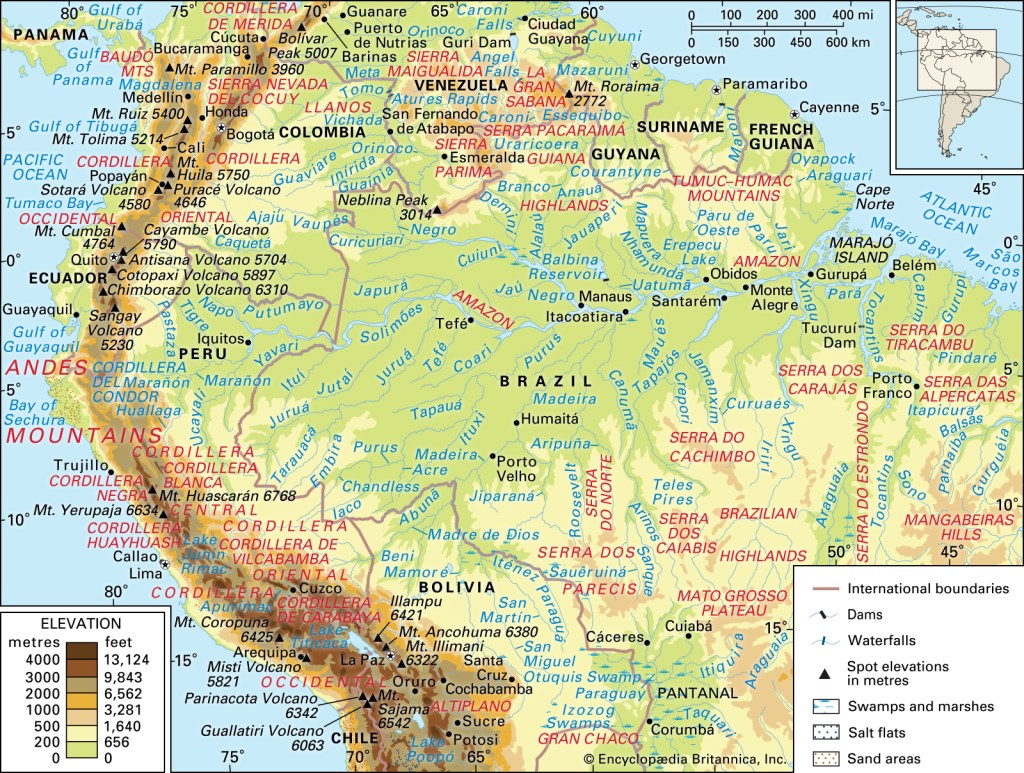
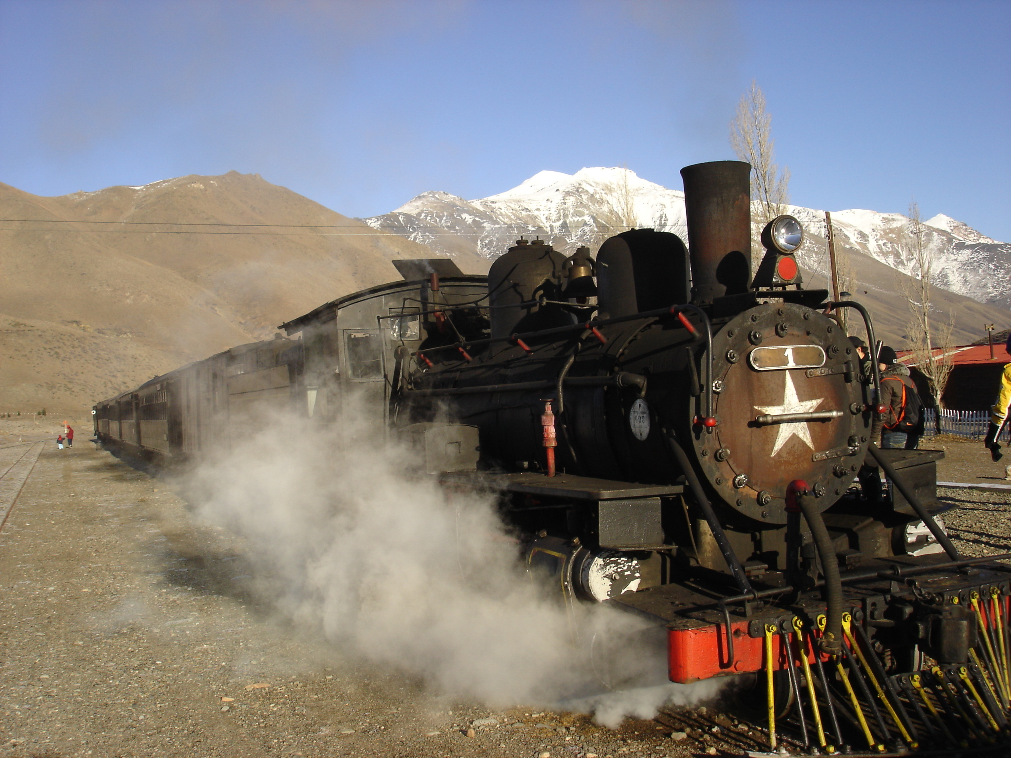
It has now been ten years since my last visit to Argentina. Cristina Kirchner was still President of the Republic. I had an itinerary that included a visit to the Foz de Iguazu by the border with Brazil, the Patagonian resort of San Carlos Bariloche, and a bus and boat trip over the Andes to Puerto Varas in Chile.

I revisited the spectacular cemetery at Recoleta where Eva Perón is buried and the port of Tigre by the delta of the Paraná River. On my way to the bus station in Retiro, a serious attempt was made to pick my pocket at a time when I was carrying $2,000 in Argentinean pesos. (I quickly sidestepped to the right and hailed a cab.)

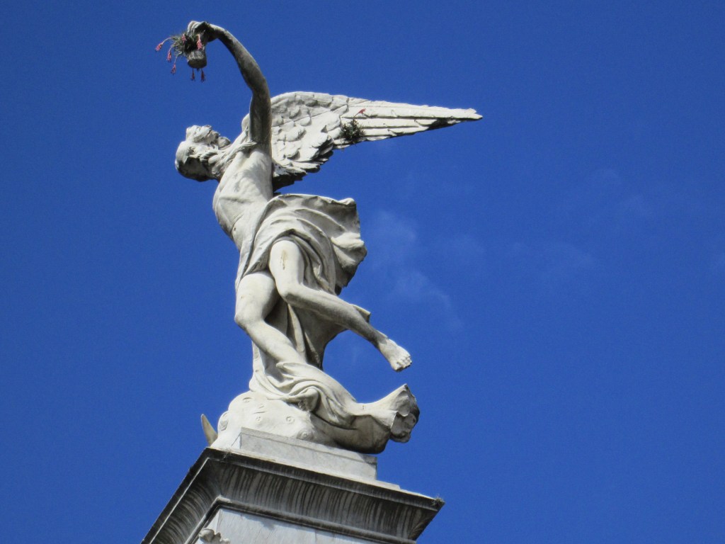
Funerary Statue at Recoleta Cemetery

I got violently ill at a hotel by the Congreso after eating a dubious steak dinner the night before, but I managed nonetheless to catch my bus to Puerto Iguazu and got better after a 10-hour bus ride that passed hundreds of fields where yerba mate was growing.

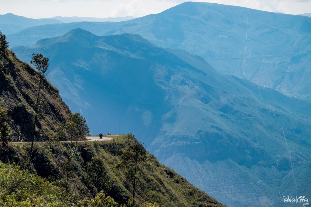
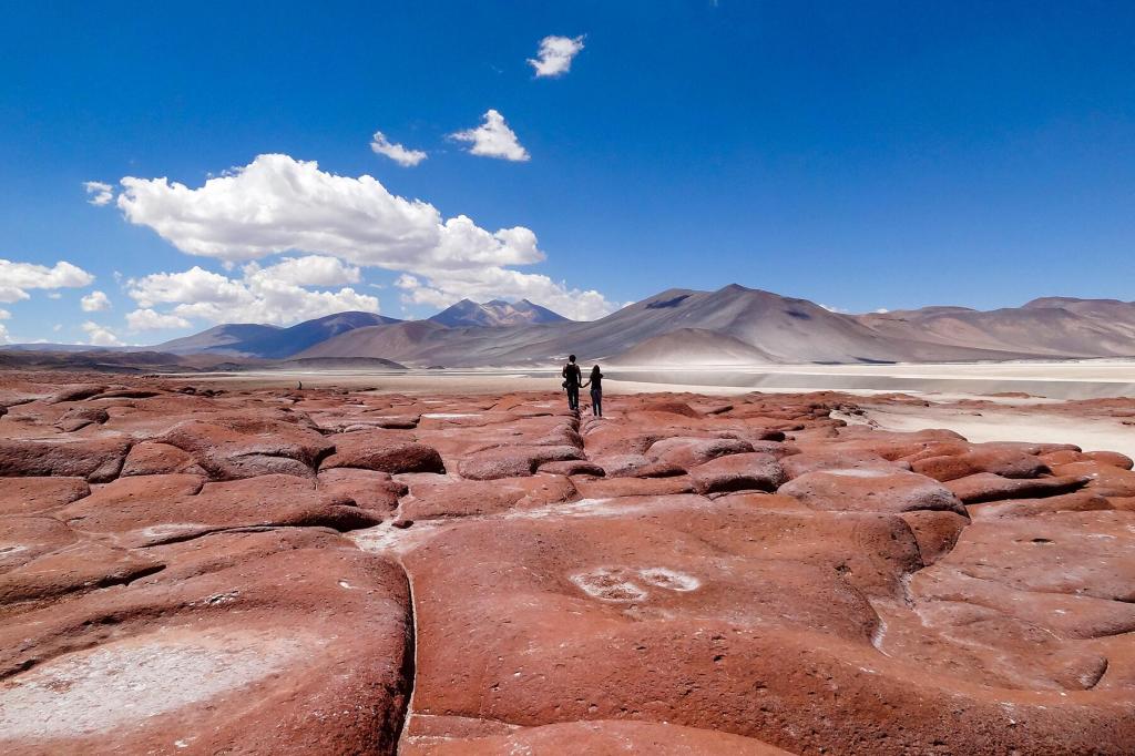
In sum, it was a great trip. As long in the tooth as I am, I would jump at the chance to visit Argentina again. The long plane ride over the Andes could be brutal, but the country is endlessly fascinating. I especially love Patagonia and Tierra del Fuego.

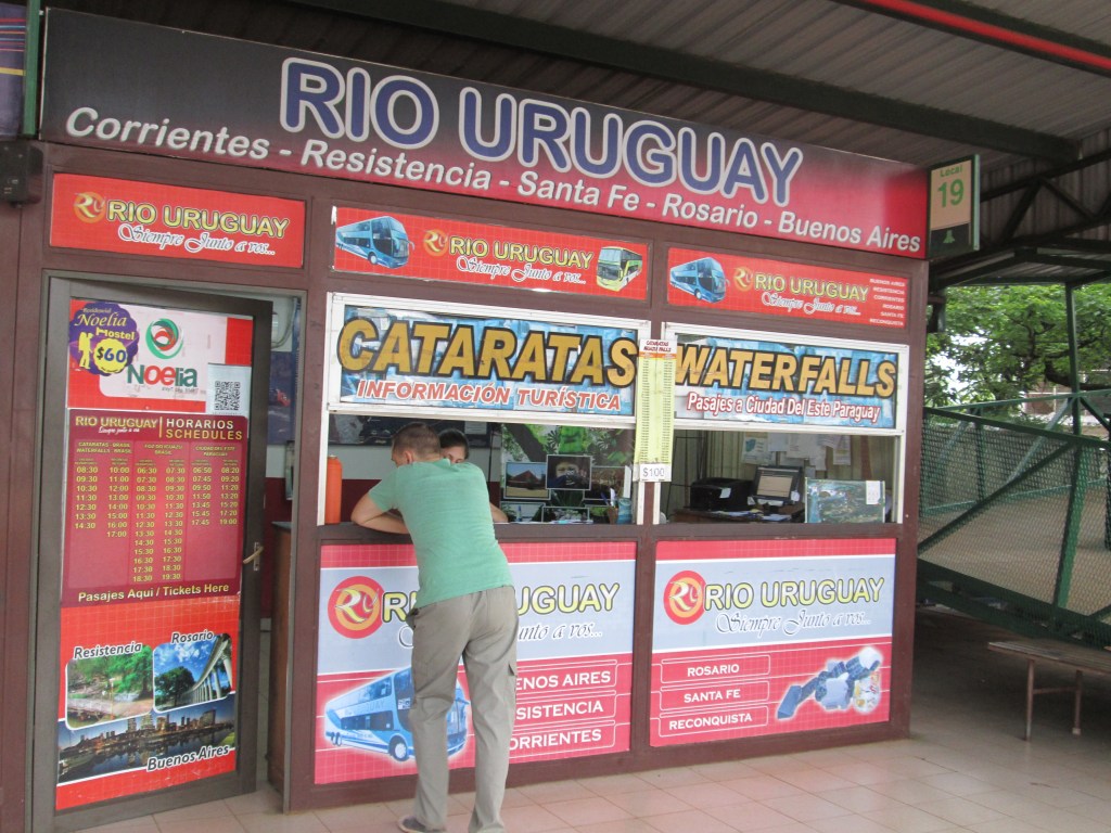
At the Puerto Iguazu Bus Station

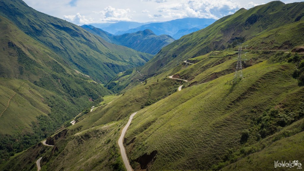
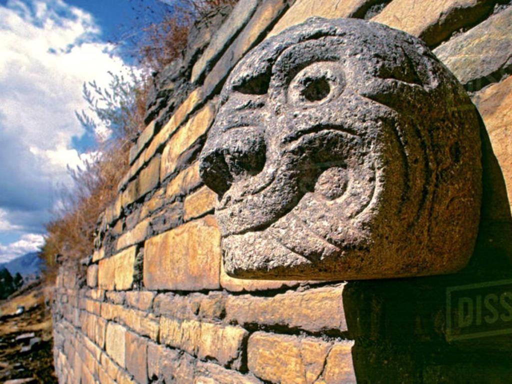
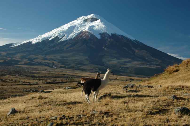
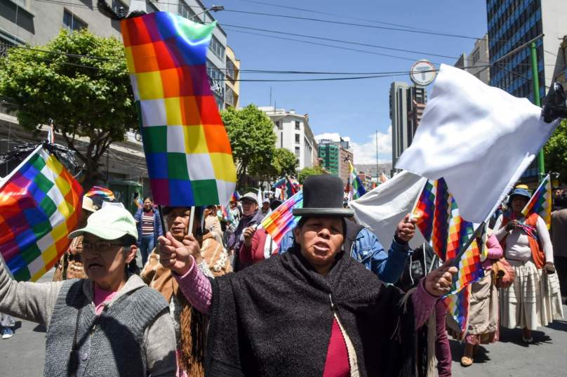
Most Americans have little or no idea of what South America is really like. Over the last twenty years, I have been to Argentina, Chile, Uruguay, Peru, and Ecuador and enjoyed just about every minute of my travels there.

The Road to Chachapoyas

The Road from Cajamarca to Chachapoyas

In my perhaps pipe dream (perhaps actual) plans to visit the pre-Columbian ruins of Northern Peru, the one big question is the side trip to Chachapoyas. The Andes at that point consist of a number of parallel mountain ranges. From Cajamarca (at 2,750 meters or 9,022 feet), one goes over a mountain pass of 3,085 meters (or 10,121 feet) to Balsas before tackling Abra de Barro Negro (“Black Mud Pass”) at 3,678 meters or 12,067 feet. From there, one can see the Rio Marañon, which is a tributary of the Amazon. A quick look at the map for this part of the trip will give you a general idea:

The Wiggly Line of Route 88

An even more specific look at the route:

Yup, It’s the Same Road

From what I understand, Route 88 is paved all or most of the way, but there are frequent floods and landslides during the rainy season, which runs from November to April. There is, I believe, one bus per day along this route from Cajamarca to Chachapoyas at 4 :00 AM using the Virgen del Carmen bus line.

This road is by no means the end of my troubles, as you shall see when the discuss the ruins of Kuelap. In fact, I will probably overnight at Leimebamba on the way, visiting their famous museum. My nerves will be plenty jangled by then, especially if I sit on the left hand side of the bus.

Ruin to Ruin

The Chavin Ruins of Chavin de Huantar in Northern Peru

On my dining table is a pile of Lonely Planet and Moon travel guides to countries that I have visited and want to visit again. Since Martine suffers from Irritable Bowel Syndrome, our meals are not too well coordinated, which leaves me going over these guidebooks with a look of wild surmise and planning travel itineraries which may just be pipe dreams. But maybe not!

I have already written about my idea of visiting the pre-Columbian ruins of Northern Peru. The idea is beginning to take shape:

First, I would need to fly to Lima, Peru, and spend several days there visiting museums and old Spanish-built churches—and eating great food, for which Lima is famous.

It’s an eight hour bus ride to Huaraz on high ground in the Andes, which there are called the Cordilleras. It’ll take several days to get accustomed to the 3,091 meter (10,141 feet) elevation. There are plenty of jagged snowy peaks to look at, though at my age I dare not trek.

From Huaraz, it’s a two and a half hour bus ride to Chavin, where the ruins of Chavin de Huantar, a UNESCO World Heritage Site, are situated.

Then I head back to the coast at Trujillo, which is a seven-hour bus ride. Tomorrow, I will write about the many ruined cities in the vicinity of Trujillo.

Cuy

BBQ Guinea Pig (Cuy)

In the Andes, one of the main sources of meat are guinea pigs. They are easy to raise, particularly if you don’t give them names or regard them as pets. The above picture was taken in Otavalo, Ecuador, famous for its Saturday tianguis, or market.

I have eaten many local foods, but never bothered to sample cuy, mostly because it is regarded as being full of tiny bones. According to one website:

All over Peru, towns honor the importance of cuy to their cuisine. Pachamanca, a traditional cooking method involving earthen ovens, often features guinea pig meat. A mural in the main cathedral of Cusco depicts Jesus and his disciples eating guinea pig at the Last Supper. During an annual festival in the town of Churin, residents celebrate cuy by dressing the animals up in colorful costumes. And across the country, townspeople gather and eat guinea pigs in honor of folk saints as part of a celebration known as jaca tsariy.

Guinea Pig Served at the Last Supper

In Chivay, Peru, I ate alpaca, which wasn’t half bad. I had the opportunity to eat edible clay at Sillustani, Peru; but I passed on it. That didn’t protect me from getting a horrible case of travelers’ diarrhea aboard a boat on Lake Titicaca.

In general, I took to the local cuisines of the Andean countries I visited. Perhaps one of the most interesting phenomena was the prevalence of chifas, Chinese restaurants, in all but the smallest towns. Even at Machu Picchu, I had a tasty wonton soup in the cool of the evening before my trip up the mountain.

The Equatorial Bulge

Mount Cotopaxi in Ecuador (19,347 Feet or 5,897 Meters)

The Earth is by no means a perfect sphere. If you are standing at either the North or South Pole, you are some 21 km nearer to the center of the planet than if you were near the Equator. The reason for this is that the rotation of the planet exerts a centrifugal force that makes of the Earth more of an oblate ellipsoid. The illustration below exaggerates this phenomenon, but gives you the general idea:

Earth as an Oblate Ellipsoid

One upshot of this phenomenon is that some of the mountains nearer the Equator are actually higher than any of the Himalayas, including Mount Everest. The so-called Equatorial Bulge calls for a more accurate measure of a mountain’s altitude than distance above sea level—especially as the bulge means that sea level is correspondingly higher. A more accurate measure is distance from the center of the Earth.

Using this measure, Mount Everest just barely makes the top ten list:

The Highest Mountains on Earth Measured by Distance from the Earth’s Center

According to this chart, the highest mountain is a virtual tie between Chimborazo in Ecuador and the South Summit of Huascarán in Peru. In fact, by this measure eight of the ten highest mountains in the world are in the Andes, the only exceptions being Kilimanjaro in Tanzania and Everest in Nepal.

Tomorrow, I will repost a blog I wrote about my visit to Mount Chimborazo in 2016.

Atacama and Altiplano

Political Demonstration in La Paz, Bolivia

Still on lockdown from the quarantine, I am dreaming of a vacation that includes Peru, the northern tip of Chile, and the Altiplano region of Bolivia. I may be too old for this trip (at age 76), but I continue to collect information. In terms of transportation, it involves a round trip flight from Los Angeles to Lima, Peru.

There are three legs to this trip.

First I head south in two or three stages to Tacna, Peru, which is on the border with Chile and its Atacama Desert, and over the border to Arica. The stages might include Paracas, Huacachina, and (most definitely) Arequipa.

From Arica, I head northeast to the Bolivian border, possibly stopping at Putre and the Parque Nacional Lauca. From this point until the end of the trip, I am at high altitude, from twelve to fifteen thousand feet (between 3600 and 4600 meters). I will be subject to soroche, or altitude sickness. I will have to use coca leaves and an alkaloid to keep me from becoming seriously ill.

Chile’s Atacama Desert, Which Receives No Rain To Speak Of

From Arica to La Paz, Bolivia is only seven hours by bus, continuing on my northeasterly direction.

I will recover from my bus ride for a few days in La Paz, possibly seeing the ruins at Tiwanaku. Then I head northwest to Copacabana, where I will be on the shores of Lake Titicaca. I will spend a night on the Isla del Sol, and take a bus to Puno in Peru. From Puno, I will take either a bus or train to Cusco, where I will see several local Inca ruins (though not necessarily Macchu Pichu, which I saw in 2015). From Cusco, I fly to Lima and eventually back to Los Angeles.

The Whole Trip Is in the Extreme Southwest of This Map

What interests me in this area are, in addition to the mountains and deserts, the cultures of the mountain peoples living in the area. Originally, I was very interested in the Inca, but then I realized that they were not as advanced as I had thought. One exception: Their stonework is amazing. Also, this is the area from which the Spanish conquistadores extracted most of their wealth, leaving behind some incredible churches full of gold, silver, and incredible paintings.

If it turns out I am too old for this trip, I will reluctantly skip Bolivia and continue to head southward in Chile until I reach Santiago.

Flying in the Andes

Actually, It’s Anything But Tame

I have flown over the Andes on several airlines: LAN, Avianca, Star Peru, Copa, and TAME. Because we don’t often think about South America, we don’t realize that the Andes are every bit as high, in general, as the Himalayas. I say “in general” because our method of measuring altitude is in flux, largely because the ocean level is in flux due to global warming. If we measure a mountain’s altitude from a point at the center of the earth, the highest mountain on the planet is Chimborazo in Ecuador. That is due primarily to a bulge in the earth around the equator which in effect elevates mountains atop that bulge.

In the past, I used to be disturbed by air turbulence. Now, with all the vacations in South America, I see turbulence as a sign that I am nearing my destination. Virtually all flights from Los Angeles to Lima, Quito, Santiago, or Buenos Aires involve a diagonal path over a chunk of the Andes. This usually takes place in the middle of the night, so I don’t get a chance to see the snowcapped peaks over which we are flying.

That plane in the picture was the plane I flew from Cuenca in the south of Ecuador to Quito. My brother had left a week or so earlier (also on a TAME prop plane), so we had returned the rental car to the Cuenca office of the rental company. I explored a bit on my own, taking a bus to Alausi to take a fascinating train ride; and I also visited a whole lot of museums in Cuenca. There are a zillion museums in Latin America, and most of them are fun even when there are no signs in English.

For my next trip to South America, I hope to fly to Bolivia and return via Buenos Aires. There’s a lot to see in between, even if I have to take a connecting flight part of the way.


South of Quito

Street Scene, Cuenca, Ecuador

Street Scene, Cuenca, Ecuador

Today my brother and I talked about our upcoming trip to Ecuador. It seems we will be together for only the first two weeks or so of the trip, leaving me to return to Los Angeles separately a week or so later. That would suit me, as well as suiting Dan’s construction schedule in his business. We will probably leave from LAX right after the October 15 tax deadline.

Even though we will rent a car for part of the time, we will likely not have a chance to see four major clusters of destinations in two weeks. First we’ll have to get acclimated to the 9,000 foot altitude of Quito (about three days), then spend several days at and around Otavalo, and then head to the cloud forests around Minto or the Intag Valley to spend some time at a lodge, and finally head south to Cuenca, around which there is a whole large cluster of sites, including the Nariz del Diablo railroad, Mount Cotopaxi, Vilcabamba, and several national parks. Then, of course, one or both of us would return to Quito for Dan’s departure.

Possibly, I will do the southern stretch of the Ecuadorean Andes by myself, traveling by bus. Plans are still in flux around this time. The key thing is that we are in basic agreement about destinations, transport, and accommodations. The main thing I want to avoid is getting stuck in a backpacker hostel. Not that I dislike backpackers; but I do dislike bunk beds and late night loud discussions that disrupt my reading and sleep.


La Trochita

One of the Two Remaining Stretches of Patagonia’s Classic Narrow-Gauge Railway

One of the Two Remaining Segments of Patagonia’s Classic Narrow-Gauge Railway

In the mid-1970s, Paul Theroux wrote the book that first got me interested in South America, The Old Patagonian Express. He traveled by rail starting in Boston and as far south as he could go in the Americas using more or less connected rail routes.That sort of fell apart in Central America, where there is no reliable way to cross Panama’s Darien Gap by rail—or road for that matter. But from Bolivia to Esquel in Argentina’s Northern Patagonia, the rails were still in use.

Now, some forty years later, Argentina has no train between the Bolivian border and Tucumán, between Bahia Blanca and Viedma, and between Ingeniero Jacobacci and Esquel. And the segment from Tucumán to Buenos Aires will probably close soon.

The stretch that interested me most was the one between Ingeniero Jacobacci and Esquel using a narrow-gauge route referred to today as La Trochita (“The Little Narrow Gauge”) or El Trencito (“The Little Train”). Shortly after Theroux wrote his most memorable chapter about the last leg of his trip, La Trochita was no more …

… except in the fond memories of Argentinians who decided to keep a couple of stretches of the steam train active for tourists. One is between El Maitén and Thomae and between Esquel and Nahuel Pan. Being an unregenerate railroad buff, I plan to take both segments. That is to say, if I can schedule it right.

Where Theroux in his typically snarky way wrote about Patagonia that “Nowhere is a place,” I, who am really from Nowhere (Cleveland, Ohio, which was destroyed by Maynard G. Krebs’s mythical The Monster That Devoured Cleveland), think that the eastern range of the Andes in Patagonia is truly beautiful. But then, Theroux was never an aficionado of fine scenery or especially of anything that threatened his comfort. (Hey, I still love his travel books!)

Probably about half or more of my next trip to Argentina will be exploring the town between Bariloche and Trevelin along the eastern slope of the Andes. I might even hop across to the border to Futaleufu in Chile, which is accessible only through Trevelin in Argentina.

The last time I saw a real steam locomotive in use was in 1977 when I was traveling by rail from Budapest to Košice in what was then Czechoslovakia. Near Miskolc in Hungary, the railroad yard was full of steam locomotives shuttling freight cars back and forth.