
Parque Nacional Lauca in Chile
On my kitchen table right where I sit to eat my meals are ten travel guides by Lonely Planet and Moon Travel Guides. Now that I’ve canceled my newspaper subscription, I spend a lot more time fantasizing about possible future trips. Since I am 81 years old and living on a fixed income, am I kidding myself? Maybe, but dreaming about travel is almost as much fun as travel itself.
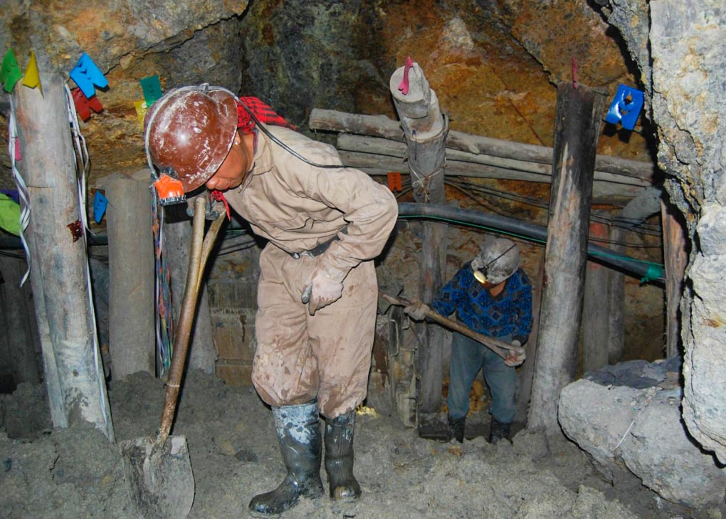
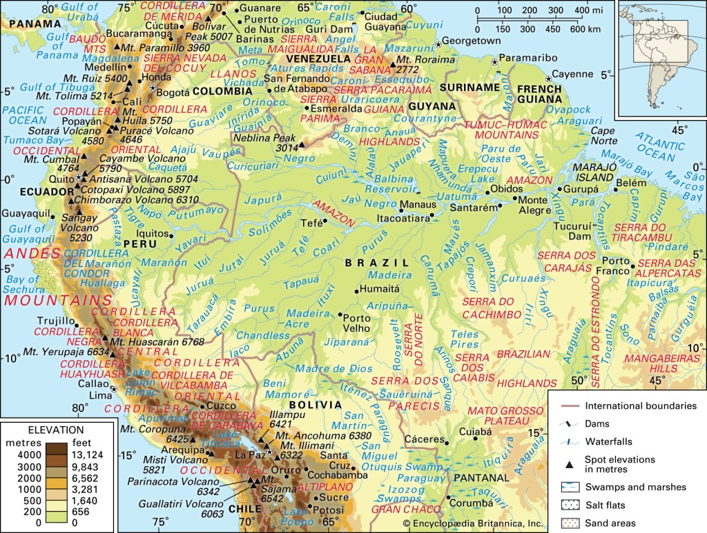
My latest fantasy itinerary starts in the northernmost seaport in Chile, Arica, known for its surfing. The city used to belong to Bolivia, which at the time had access to the Pacific; however, in the 1880s, there was a bird poo war involving Chile, Bolivia, and Peru. It literally was about access to bird droppings for use as agricultural fertilizer. (It’s amazing sometimes how so much warfare is due to lust for various types of shit.) Peru and Bolivia lost, probably due to naval help for Chile from Britain.
From Arica, I would take a La Paloma bus to the village of Putre, which woulkd take me from sea level to an elevation of 11,060 feet (3,371 meters) within a couple of hours. There I would adjust myself to the altitude by reading a good book for a day or two while I felt slightly ill from soroche (altitude sickness).
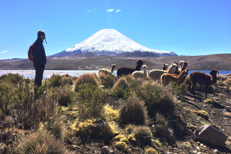
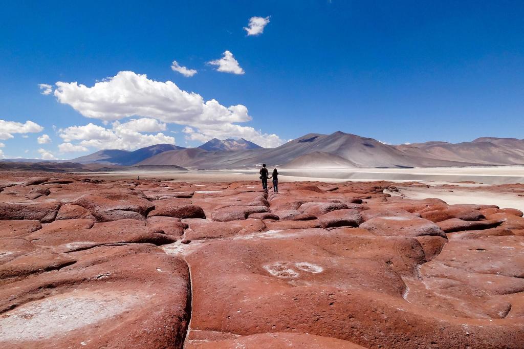
I would hire a tour guide in Putre to take me to the Parque Nacional Lauca, which is a region of snowcapped volcanoes and alpine lakes with wild vicunas and alpacas. Nearby are other high-altitude Andean parks.
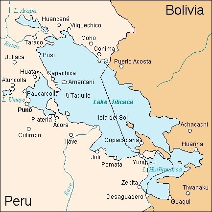
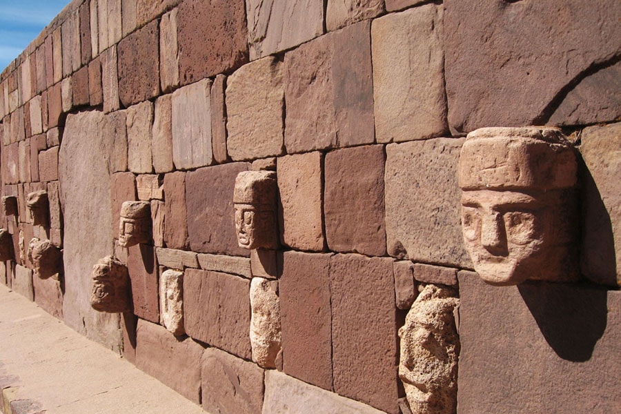
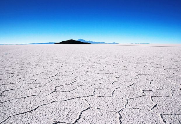
From Putre, I could take a bus to La Paz, Bolivia, where I could rest a day or two before making my way to the ruins of Tihuanacu and the city of Copacabana on the eastern shore of Lake Titicaca. From there it is a quick bus trip to Puno in Peru, where I spent several days in 2014 on the western shore of Titicaca. If I am so minded, I can easily get from Puno to Cuzco and Machu Picchu and ultimately to Lima.


You must be logged in to post a comment.