

Yes! It Looks Like Calbuco Won’t Interfere with My Trip
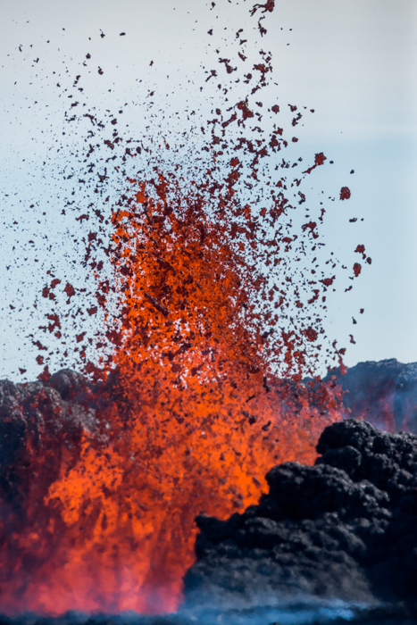
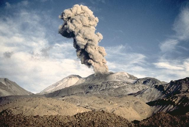
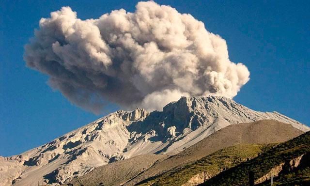
I have been watching Sernageomin’s Reporta de Actividad Volcánica (RAV) on a daily basis. I have seen the warnings go from a Red Alert and a 20 km danger zone to an Orange Alert and finally a Yellow Alert. Even if Calbuco doesn’t emit so much as a puff of smoke in the next six months, the Servicio Nacional de Geología y Minería will likely not lower the alert to Green if only because the three eruptions of April 22, 24, and 30 were so spectacular as to keep the agency on its toes.
On May 9, I printed a vastly different chart showing the danger zone, the lava paths to the surrounding lakes, and the direction of wind-borne volcanic ash. My planned bus journey from Lago de Todos los Santos to Puerto Varas would have been blocked at several points by flowing lava; and both Ensenada and Petrohué had been evacuated.
As you can see from the most recent RAV chart for Calbuco (above), only parts of the Rio Frio and Rio Caliente are in any danger of pyroclastic flows; and ash is no longer coming from the caldera.
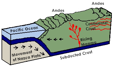
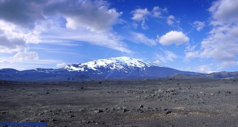
Chile is a somewhat tricky country to visit: It is not only one of the most active countries in the world due to its volcanic activity, but also due to devastating earthquakes. On May 22, 1960, Valdivia had a quake that tipped the Richter scale at 9.5. What with its associated tsunami, is is considered one of the strongest tremors in history.
So why do I want to go there? Certainly not to walk innocently into a disaster. Mountainous country is beautiful, but the taller the mountains, especially near the edge of a tectonic plate, the more Biblical are the disasters. You pay for beauty.


You must be logged in to post a comment.