

The Lomita Railroad Museum
One does not expect to see a railroad museum on a residential suburban street, yet there it was. Plus it was not built at the site of an old station or railroad yard. The station building is a built-from-scratch replica of the station in Wakefield, Massachusetts. It was built on 250th Street because that’s where Irene Lewis lived. The Lomita Railroad Museum is her creation, in memory of her late husband Martin, and it is a tribute to the love that the Lewises had for railroading.
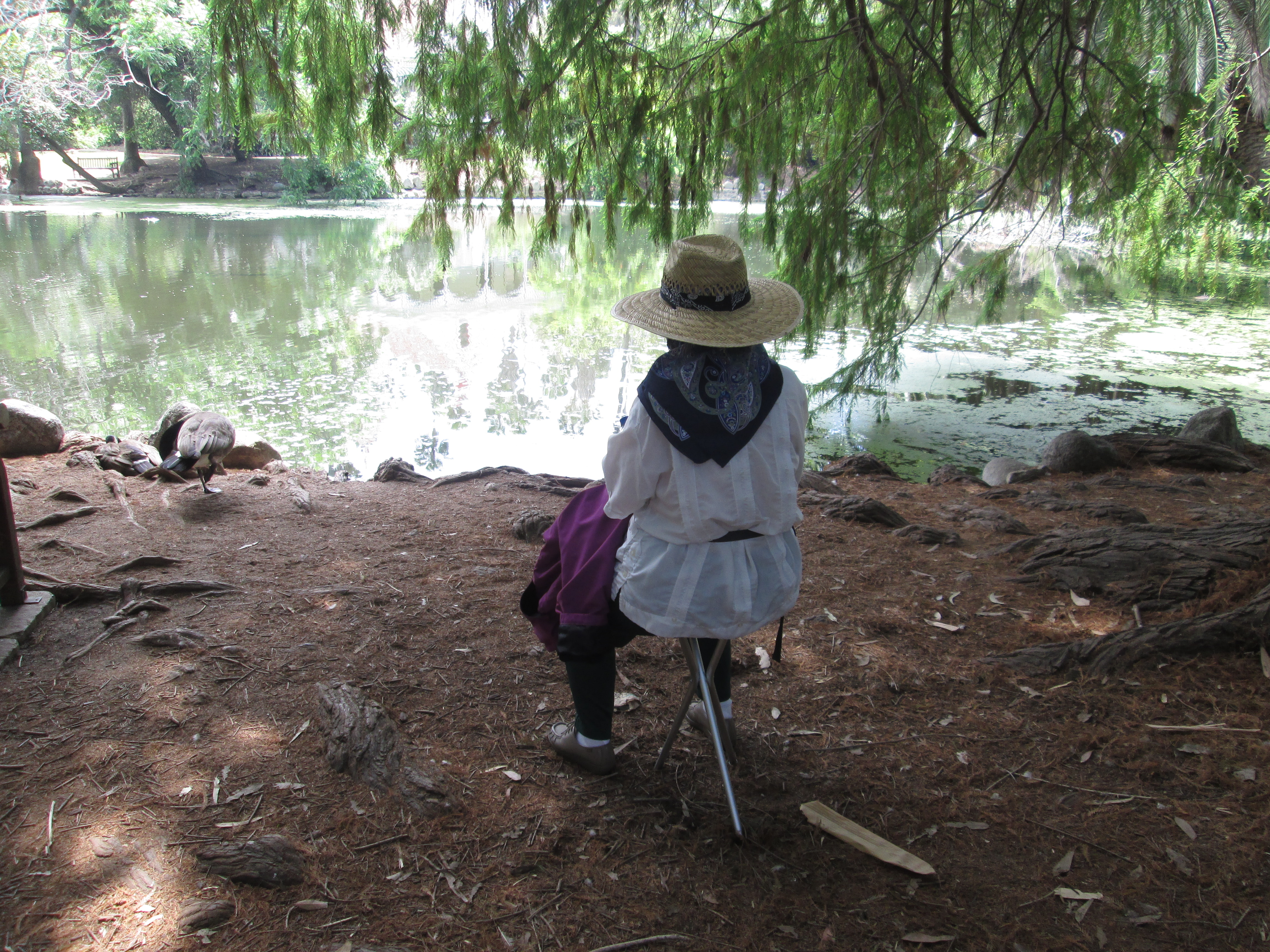
Today was a prototypical June gloom day, so Martine paged through our copy of Passport 2 History: Your Guide to 83 Historic Sites in 9 Counties of Central and Southern California, an occasionally revised booklet that has resulted in a number of fun day trips for the two of us.
In addition to the station building with its numerous exhibits, there is a 1902 Southern Pacific steam locomotive with tender and a 1910 Union Pacific caboose. On adjoining properties, there is a Santa Fe caboose, a 1923 Union Oil tank car, and a 1913 outside-braced wood box car.

Martine with Locomotive Exhibit (Notice the Engineer’s Hat)
It’s always fun to see a real labor of love come to life the way the Lomita Railroad Museum has. Los Angeles is full of little corners where some person’s dream has resulted in a fun place to visit and be informed.
Especially now that the Los Angeles to San Francisco High Speed Railroad is in doubt because of funding woes, railroading is becoming more and more a thing of the past. Although they seem to be thriving in Europe and parts of Asia, the railroads in North America have given way to trucks (for freight) and buses (for passengers).
I will never forget the awe I felt as a cub scout waiting for a passenger train to take members of my “den” to distant Ashtabula, Ohio. As the giant steam locomotive pulled up to the station, I felt a frisson of terror at such power as we were enveloped in steam.


You must be logged in to post a comment.