
La Casa de Don David in El Remate, Guatemala
I couldn’t find the owner’s last name on the Internet. His first name I know, however: It’s David. Supposedly, in 1974 he founded a hotel called the Gringo Perdido, “The Lost Gringo.” At some point, he sold it to its present Guatemalan owners and opened La Casa de Don David, much closer to the intersection with the road to the Maya ruins at Tikal.
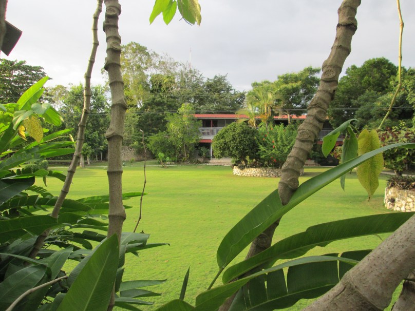
If you want to visit Tikal, you can stay just outside the ruins, or hang out with the tourist throngs on the island of Flores. My choice was the village of El Remate, roughly midway between Flores with its airport and the ruins at Tikal. And what a choice it was! My 2019 stay was restful and in every way delightful. The Casa was on the eastern shore of the Lago Petén Itza, the site of the final defeat of the Maya to the Spanish conquistadors in 1697, over a century after Cortés defeated the Aztecs several hundred miles to the north.
Here is the front of the informational handout I received in 2019:

The website listed is still current, in both Spanish and English.
I spent a couple hours talking with David and liked him and his hotel immensely. In fact, I hired a guide to the ruins through the hotel who was extremely knowledgeable.
One of the things I hate about a hotel when I’m traveling is a party atmosphere. I don’t mind conviviality, but it seems that the majority of American travelers particularly travel to get drunk. Me, I like places that are restful and quiet. It helped that the food was excellent and the owner and staff friendly and helpful. If I were to return to Tikal (next time I’d like to access it through Belize, some 25 miles (40 kilometers) to the east.


You must be logged in to post a comment.